Dark Places • Sanctuary Cartography

Where Darkness Endures

A low light-pollution map score tells only half the story. True stargazing suitability combines Bortle darkness with low precipitable water vapour, unobstructed southern or northern horizons, wind shelter, and turnouts you can navigate safely at two in the morning.

How to Weigh Altitude, Humidity and Light Domes

Astronomers distinguish between transparency (how free the atmosphere is from moisture, smoke, dust, and light-scattering aerosols) and astronomical seeing (how calmly upper air layers behave, governing whether stars twinkle wildly or hold pinpoint focus at high telescope magnification). Coastal valleys may look dark on satellite radiance maps yet trap marine mist that scatters distant town light up to thirty degrees above the horizon.

John E. Bortle's nine-level darkness scale remains the clearest field shorthand, often paired with Sky Quality Meter (SQM) readings measured in magnitudes per square arcsecond (mag/arcsec²). Before booking a remote cabin, inspect directional horizon domes: in the Northern Hemisphere, a small town ten kilometres due south sits directly beneath the summer Milky Way core, whereas the exact same town ten kilometres due north leaves your primary photographic arc untouched.

Bortle Class Typical SQM Visual Sky Benchmarks Best Travel Use Case
Class 1 – Excellent Dark 21.90–22.00 Zodiacal light and gegenschein visible; Scorpius/Sagittarius region casts subtle ground shadows Expedition deep-sky astrophotography & faint visual galaxy hunting
Class 2 – Truly Dark 21.70–21.89 Airglow bands along horizon; M33 Triangulum Galaxy visible with direct vision Flagship dark-sky reserves with maintained gravel or paved pullouts
Class 3 – Rural Sky 21.30–21.69 Rich Milky Way structure overhead; minor light domes confined below 12° altitude Weekend road trips, meteor showers, wide-field nightscapes
Class 4 – Rural/Suburban Transition 20.50–21.29 Milky Way clear above 25° but lacks intricate horizontal dust contrast Telescopic lunar/planetary study, star clusters, narrowband imaging

Six Numbered Dark-Sky Profiles

Each sanctuary below represents a distinct climate regime, latitude band, and access style—allowing you to match seasonal clear-sky odds with realistic ground logistics.

01 • 23°S
Antofagasta Region, Chile • Bortle 1

Atacama Desert & Llano de Chajnantor

Sheltered between the coastal Cordillera Domeyko and the high Andes, plateaus surrounding San Pedro de Atacama (2,400m) enjoy extraordinarily dry air. Southern gems—Omega Centauri, the Carina Nebula, and the Large and Small Magellanic Clouds—ride high above flat volcanic salt pans. Carry warm down layers even in summer; radiative cooling drops surface temperatures by 20°C within two hours of sunset, and acclimatise gradually before driving above 3,500 metres.
02 • 28°N
Canary Islands, Spain • Bortle 1–2

Roque de los Muchachos, La Palma

La Palma's municipal lighting statute mandates monochromatic amber LEDs and downward shielding island-wide. Winding paved LP-4 highway climbs to 2,426 metres along the Caldera de Taburiente rim, frequently emerging above a dense sea of trade-wind stratocumulus at 1,400 metres. Designated astronomical viewpoints (Miradores Astronómicos) such as Llano del Jable provide stone windbreaks and polar-alignment plinths.

03 • 44°S
South Island, New Zealand • Bortle 2

Aoraki Mackenzie Dark Sky Reserve

Encompassing Tekapo, Pukaki, and Twizel, this 4,367-square-kilometre basin sits in the lee of the Southern Alps. Autumn and winter nights (April through September) deliver long astronomical darkness and crisp air, occasionally joined by Aurora Australis glow along the southern horizon. Beware fast-moving Foehn arch clouds (the Nor'west Arch), and check summit wind speeds before booking Mount John tours.

04 • 25°S
Hardap Region, Namibia • Bortle 1

NamibRand Nature Reserve

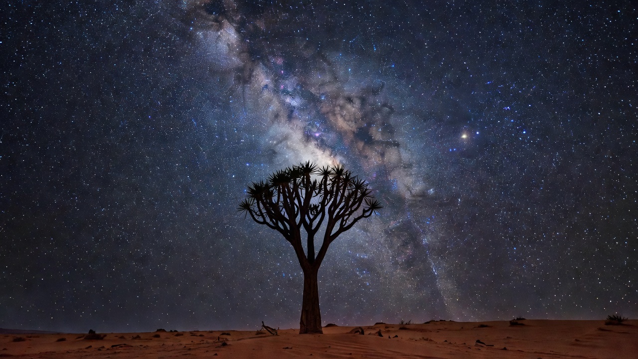
More than a hundred kilometres from the nearest small settlement, NamibRand's red iron-oxide dunes and granite inselbergs sit under winter dry-season skies (May to September) where natural airglow and zodiacal light dominate the horizon. Access operates strictly through conservation camps and astro-lodges, eliminating stray vehicle headlights entirely.

05 • 29°N
West Texas, United States • Bortle 1–2

Big Bend & Greater Big Bend Reserve

Part of the world's largest transboundary certified dark-sky region spanning West Texas and northern Chihuahua, Mexico. Sotol Vista and Chisos Basin offer paved elevation between 1,200m and 1,650m. Spring and autumn bring mild nights and transparent desert air; avoid late July and August when the North American Monsoon builds evening thunderstorms.

06 • 55°N
Dumfries & Galloway, Scotland • Bortle 2–3

Galloway Forest Park

The United Kingdom's pioneer Dark Sky Park proves accessible darkness still thrives within two hours of major cities. Loch Trool and Clatteringshaws Visitor Centre provide firm hardstanding and dark forested hills shielding coastal towns. Because of its 55°N latitude, plan visits exclusively between September and early April; from mid-May through July, astronomical twilight lingers all night.

Silhouette of a desert quiver tree against dense star clouds of Carina and Crux under Bortle 1 skies
Southern dry-season sanctuaries place the galactic centre directly at the zenith during June and July, minimizing atmospheric extinction.
"Daytime reconnaissance is mandatory safety practice: inspect cattle grids, gravel shoulders, tide lines, and cell-signal dead zones in sunlight before returning after twilight." Field Reconnaissance Standard

Once you have shortlisted two candidate regions, align your travel dates with Moon rise and set tables on Lunar Visits and verify lens and warmth essentials on Sky Equipment.